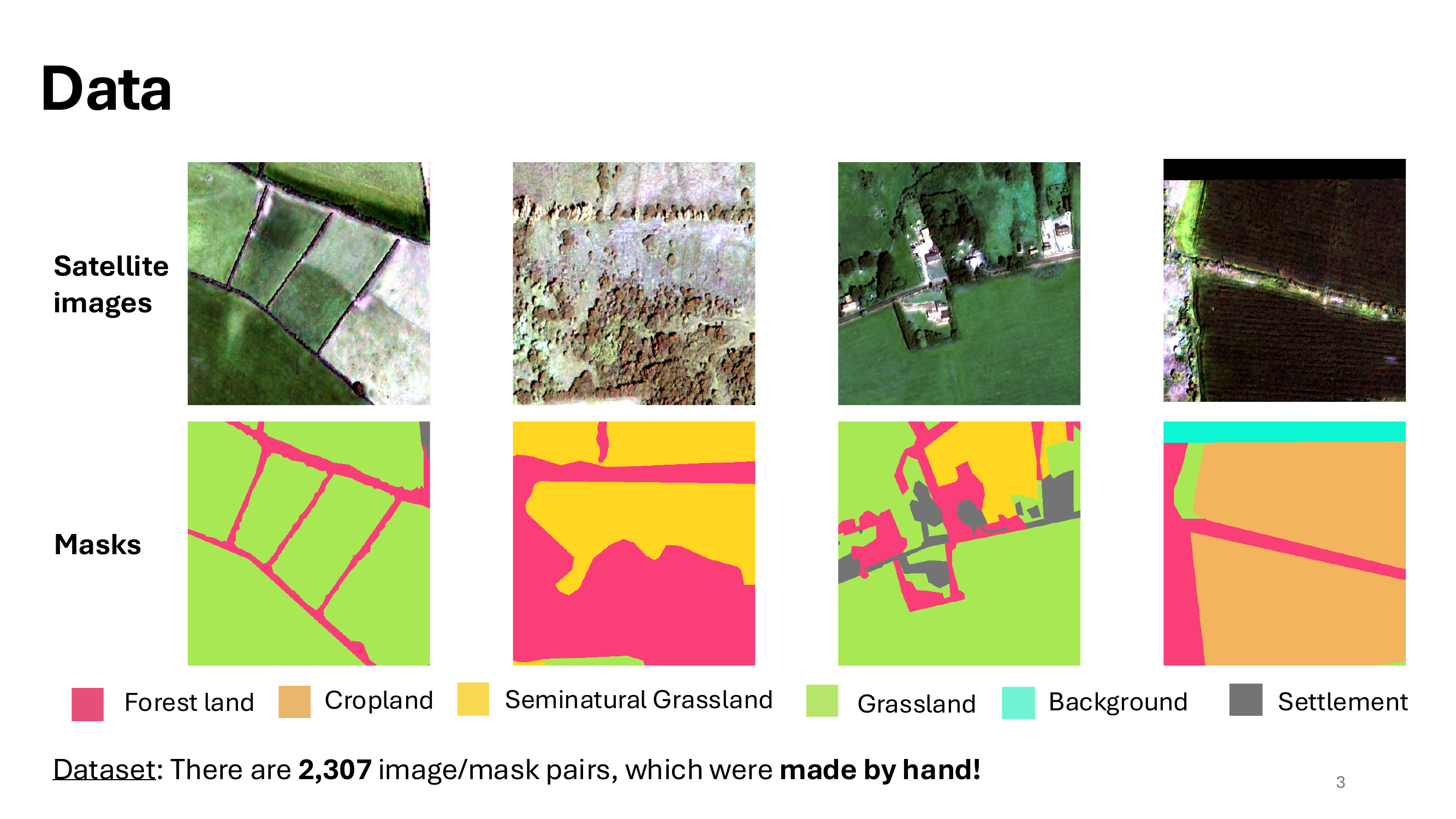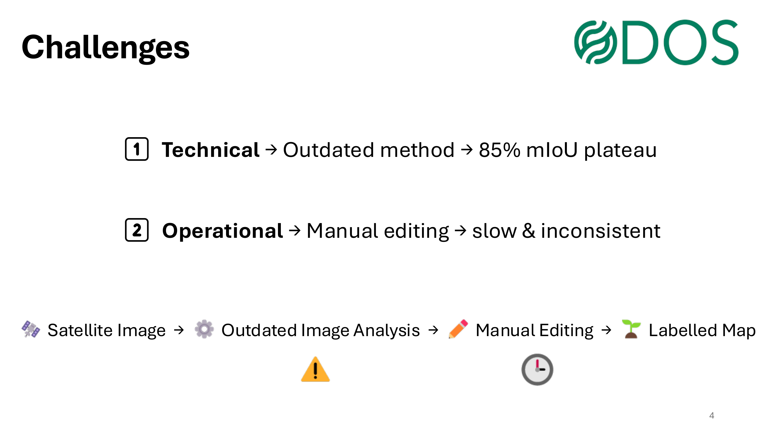
This started at the AI Climate Sustainability Sandbox, a five-day challenge at Trinity College Dublin where ODOS Technology provided high-resolution satellite imagery for rural land-cover segmentation — a problem made difficult by severe class imbalance. It’s since grown into a joint research paper (pending submission) targeting a Remote Sensing special issue. I built the experiment workflows and training pipeline.