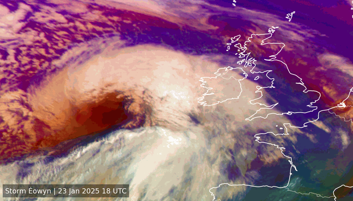
Animated satellite visualisations of major Irish-impact storms — Ophelia, Isha, and Éowyn — made for the AIMSIR research centre exhibition. Built with Python and the EUMETView APIs, pulling composites like 10.8 µm infrared, RGB Airmass, and 24-hour Microphysics to show each storm from different angles.